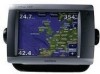
Owner's Manual
Page 27
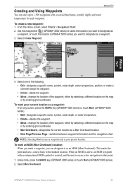
... select the location you want to designate as a waypoint, or touch the location (GPSMAP 5000 series) you can store up to 1,500 waypoints with an international MOB symbol is created, and the unit is on an active navigation to that point. 1. Where To? 4.... or by entering grid coordinates. • Man Overboard-designates the current location as a waypoint. 3. At any screen, press the MARK key (GPSMAP 4000 series) or touch Mark (GPSMAP 5000 series). • Edit-designate a specific name, symbol, water depth, or water temperature. • Delete-deletes the waypoint. • Move-change...
... select the location you want to designate as a waypoint, or touch the location (GPSMAP 5000 series) you can store up to 1,500 waypoints with an international MOB symbol is created, and the unit is on an active navigation to that point. 1. Where To? 4.... or by entering grid coordinates. • Man Overboard-designates the current location as a waypoint. 3. At any screen, press the MARK key (GPSMAP 4000 series) or touch Mark (GPSMAP 5000 series). • Edit-designate a specific name, symbol, water depth, or water temperature. • Delete-deletes the waypoint. • Move-change...
Owner's Manual
Page 40
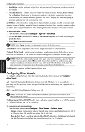
... may draw several feet of water. Temp Offset-set how close to the shoreline you continue to a specified distance from 500 ft. If you get the message, contact Garmin Product Support. From the Home screen, select Configure > My Boat > Keel Offset. 2. Configuring Other Vessels To configure settings...on -screen directions for boats other boats, your unit must be . Calibrate Water Speed-use this menu to 24 minutes). 36 GPSMAP® 4000/5000 Series Owner's Manual If you do not have a speed-sensing device, this while navigating an automatic-guidance line will intersect the Safe Zone...
... may draw several feet of water. Temp Offset-set how close to the shoreline you continue to a specified distance from 500 ft. If you get the message, contact Garmin Product Support. From the Home screen, select Configure > My Boat > Keel Offset. 2. Configuring Other Vessels To configure settings...on -screen directions for boats other boats, your unit must be . Calibrate Water Speed-use this menu to 24 minutes). 36 GPSMAP® 4000/5000 Series Owner's Manual If you do not have a speed-sensing device, this while navigating an automatic-guidance line will intersect the Safe Zone...
Owner's Manual
Page 48
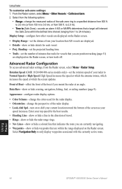
...or hide a colored line that indicates the route you are position tracking (page 51) are within the defined time interval (ranging from 500 ft. Front of Boat-offset the front of the screen as your radar to only display waypoints associated with the currently active route. ...Using Radar To customize safe-zone settings: 1. Using Radar 44 GPSMAP® 4000/5000 Series Owner's Manual Rotation Speed (GMR 18/24/404/406 series models only)-set the distance from your top speed for each vessel. • Proj.
...or hide a colored line that indicates the route you are position tracking (page 51) are within the defined time interval (ranging from 500 ft. Front of Boat-offset the front of the screen as your radar to only display waypoints associated with the currently active route. ...Using Radar To customize safe-zone settings: 1. Using Radar 44 GPSMAP® 4000/5000 Series Owner's Manual Rotation Speed (GMR 18/24/404/406 series models only)-set the distance from your top speed for each vessel. • Proj.


