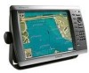
Garmin GPSMAP 4212 Support Question
Garmin GPSMAP 4212 Support Question
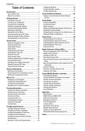
Find answers below for this question about Garmin GPSMAP 4212 - Marine GPS Receiver.Need a Garmin GPSMAP 4212 manual? We have 8 online manuals for this item!
Question posted by ultraypm on June 3rd, 2023
What Is Error Code 1 On Garmin Radome Radar?
Current Answers
Answer #1: Posted by SonuKumar on June 3rd, 2023 10:12 AM

Member since:
May 9th, 2021 Points: 16,617,810

Check the connections: Ensure that all cables and connections between the radar and the chartplotter are secure and properly plugged in. Verify that there are no loose or damaged cables. You may want to disconnect and reconnect the cables to ensure a solid connection.
Power cycle the devices: Turn off both the chartplotter and the radar unit. Disconnect the power supply to the radar and wait for a few minutes. Reconnect the power supply and turn on both devices. This can help reset the communication between the devices.
Update software: Make sure that both the chartplotter and the radar have the latest software updates installed. Visit the Garmin website and check for any available software updates for your specific models. Follow the instructions provided to update the software if necessary.
Perform a factory reset: If the issue persists, you may consider performing a factory reset on both the chartplotter and the radar unit. Keep in mind that a factory reset will erase any customized settings and data, so it's important to back up any important information before proceeding. Consult the user manuals for both devices for instructions on how to perform a factory reset.
Please respond to my effort to provide you with the best possible solution by using the "Acceptable Solution" and/or the "Helpful" buttons when the answer has proven to be helpful.
Regards,
Sonu
Your search handyman for all e-support needs!!
Related Garmin GPSMAP 4212 Manual Pages
Similar Questions


When its time to transmit a massage ERROR CODE 0 appear and theirs no transmission